TS Chantal 21 aug 2001 1924Z.jpg
From Spacefaring
Size of this preview: 728 × 600 pixels. Other resolutions: 292 × 240 pixels | 583 × 480 pixels | 933 × 768 pixels | 1,244 × 1,024 pixels | 1,700 × 1,400 pixels.
Original file (1,700 × 1,400 pixels, file size: 620 KB, MIME type: image/jpeg)
Summary
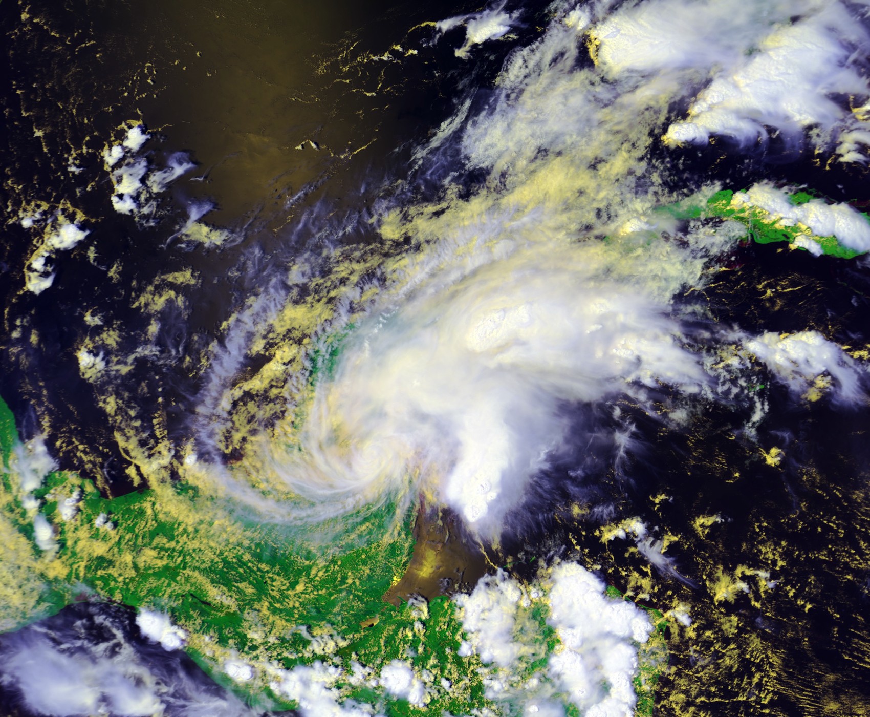
| Description | Tropical Storm Chantal at landfall on August 21 at 1924 UTC. This image was produced from data from NOAA-16, provided by NOAA. The storm's maximum sustained winds were 40 mph. | |||
| Date | ||||
| Source | Inventory ID:2382219, Dataset Name:NSS.HRPT.NL.D01233.S1924.E1938.B0471616.WI | |||
| Author | NOAA / Satellite and Information Service | |||
| Permission (Reusing this file) |
|
File history
Click on a date/time to view the file as it appeared at that time.
| Date/Time | Thumbnail | Dimensions | User | Comment | |
|---|---|---|---|---|---|
| current | 03:18, 13 February 2007 | | 1,700 × 1,400 (620 KB) | wikimediacommons>Good kitty | == Summary == {{Information |Description=Tropical Storm Chantal at landfall on August 21 at 1924 UTC. This image was produced from data from NOAA-16, provided by NOAA. The storm's maximum sustained winds were 40 mph. |Source=http://www.class.noaa.gov/</br |
File usage
There are no pages that use this file.