Croatia Pula 2014-10-11 12-42-46.jpg
From Spacefaring
Original file (3,872 × 2,592 pixels, file size: 4.41 MB, MIME type: image/jpeg)
This file is from Wikimedia Commons and may be used by other projects. The description on its file description page there is shown below.
Summary
| DescriptionCroatia Pula 2014-10-11 12-42-46.jpg |
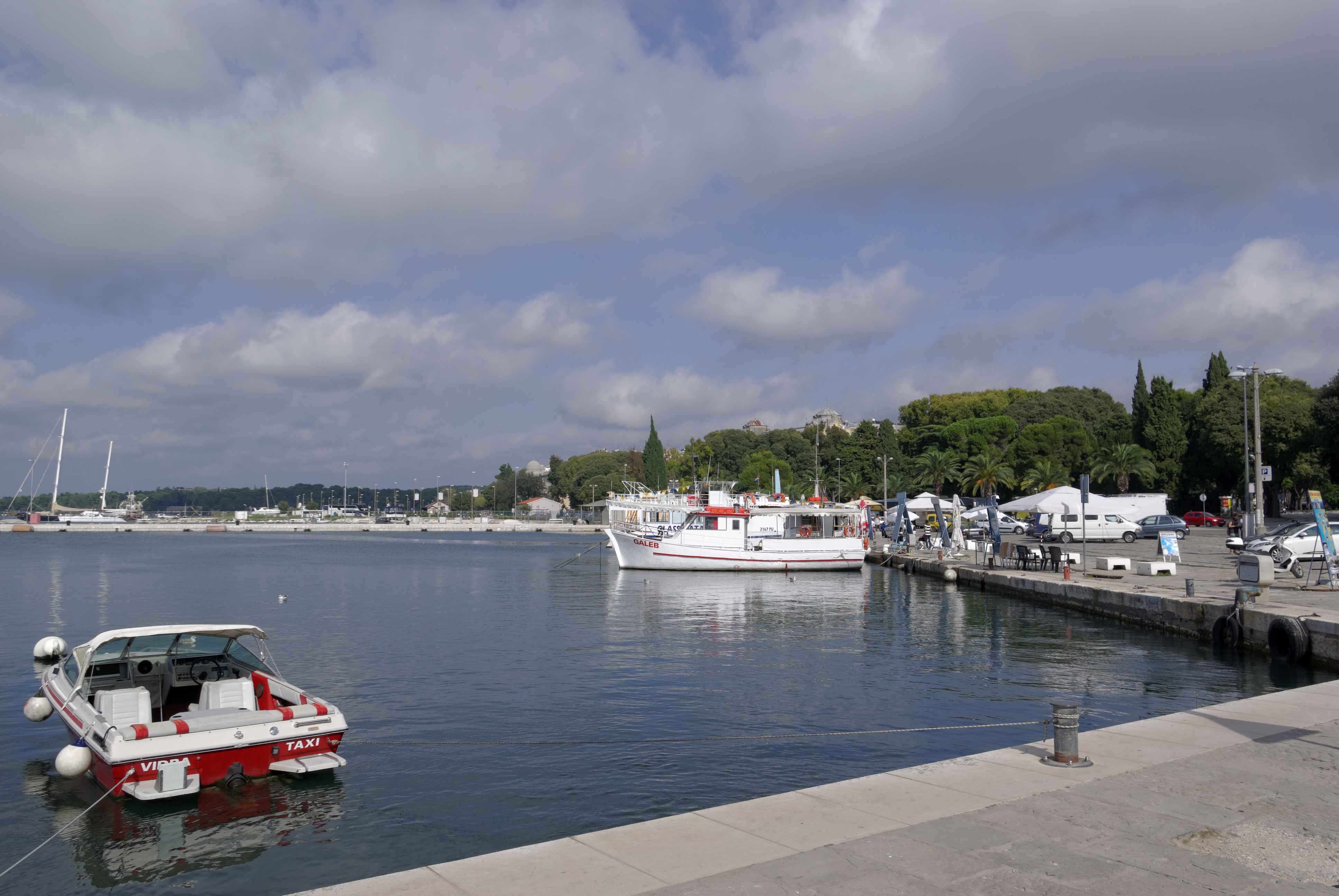
Deutsch: Kroatien, Pula, Hafen English: Croatia, Pula, Harbour |
| Date | |
| Source | Own work |
| Author | Berthold Werner |
| Camera location | 44° 52′ 23.66″ N, 13° 50′ 51.73″ E | View this and other nearby images on: OpenStreetMap |
|---|
Licensing
- You are free:
- to share – to copy, distribute and transmit the work
- to remix – to adapt the work
- Under the following conditions:
- attribution – You must give appropriate credit, provide a link to the licence, and indicate if changes were made. You may do so in any reasonable manner, but not in any way that suggests the licensor endorses you or your use.
- share alike – If you remix, transform, or build upon the material, you must distribute your contributions under the same or compatible licence as the original.
This image has been assessed using the Quality image guidelines and is considered a Quality image.
العربية ∙ جازايرية ∙ беларуская ∙ беларуская (тарашкевіца) ∙ български ∙ বাংলা ∙ català ∙ čeština ∙ Cymraeg ∙ Deutsch ∙ Schweizer Hochdeutsch ∙ Zazaki ∙ Ελληνικά ∙ English ∙ Esperanto ∙ español ∙ eesti ∙ euskara ∙ فارسی ∙ suomi ∙ français ∙ galego ∙ עברית ∙ हिन्दी ∙ hrvatski ∙ magyar ∙ հայերեն ∙ Bahasa Indonesia ∙ italiano ∙ 日本語 ∙ Jawa ∙ ქართული ∙ Qaraqalpaqsha ∙ 한국어 ∙ kurdî ∙ кыргызча ∙ Latina ∙ Lëtzebuergesch ∙ lietuvių ∙ македонски ∙ മലയാളം ∙ मराठी ∙ Bahasa Melayu ∙ Nederlands ∙ Norfuk / Pitkern ∙ polski ∙ português ∙ português do Brasil ∙ rumantsch ∙ română ∙ русский ∙ sicilianu ∙ slovenčina ∙ slovenščina ∙ shqip ∙ српски / srpski ∙ svenska ∙ தமிழ் ∙ తెలుగు ∙ ไทย ∙ Tagalog ∙ toki pona ∙ Türkçe ∙ українська ∙ oʻzbekcha / ўзбекча ∙ vèneto ∙ Tiếng Việt ∙ 中文 ∙ 中文(简体) ∙ 中文(繁體) ∙ +/− |
Captions
11 October 2014
44°52'23.65813"N, 13°50'51.73415"E
0.004 second
11
18 millimetre
100
image/jpeg
d958ce849ebba117bf86ce4f95486b1624308f6c
4,626,951 byte
2,592 pixel
3,872 pixel
File history
Click on a date/time to view the file as it appeared at that time.
| Date/Time | Thumbnail | Dimensions | User | Comment | |
|---|---|---|---|---|---|
| current | 17:08, 22 March 2015 | 3,872 × 2,592 (4.41 MB) | wikimediacommons>Berthold Werner | VicuñaUploader 1.20 |
File usage
There are no pages that use this file.
Metadata
This file contains additional information, probably added from the digital camera or scanner used to create or digitise it.
If the file has been modified from its original state, some details may not fully reflect the modified file.
| Camera manufacturer | PENTAX Corporation |
|---|---|
| Camera model | PENTAX K10D |
| Exposure time | 1/250 sec (0.004) |
| F Number | f/11 |
| ISO speed rating | 100 |
| Date and time of data generation | 12:42, 11 October 2014 |
| Lens focal length | 18 mm |
| Latitude | 44° 52′ 23.66″ N |
| Longitude | 13° 50′ 51.73″ E |
| Altitude | 3 metres above sea level |
| City shown | Pula |
| Orientation | Normal |
| Horizontal resolution | 300 dpi |
| Vertical resolution | 300 dpi |
| Software used | DxO Optics Pro 9.5 |
| File change date and time | 12:42, 11 October 2014 |
| Exposure Program | Aperture priority |
| Date and time of digitising | 12:42, 11 October 2014 |
| APEX exposure bias | 0 |
| Metering mode | Pattern |
| Flash | Flash did not fire, compulsory flash suppression |
| Colour space | sRGB |
| Sensing method | One-chip colour area sensor |
| Custom image processing | Normal process |
| Exposure mode | Auto exposure |
| White balance | Auto white balance |
| Focal length in 35 mm film | 27 mm |
| Scene capture type | Standard |
| Contrast | Normal |
| Saturation | Normal |
| Sharpness | Hard |
| Subject distance range | Distant view |
| GPS time (atomic clock) | 10:42 |
| Speed unit | Kilometres per hour |
| Speed of GPS receiver | 3.0103860135018 |
| Geodetic survey data used | WGS-84 |
| GPS date | 11 October 2014 |
| GPS tag version | 2.2.0.0 |
| Image width | 3,872 px |
| Image height | 2,592 px |
| Compression scheme | JPEG (old) |
| Height | 120 px |
| Width | 160 px |
| Code for country shown | HRV |
| Sublocation of city shown | Pula |
| Country shown | Kroatien |
| Province or state shown | Istarska |