EE HJ Tallinn city walls towers 1.jpg
From Spacefaring

Size of this preview: 409 × 599 pixels. Other resolutions: 164 × 240 pixels | 328 × 480 pixels | 524 × 768 pixels | 699 × 1,024 pixels | 2,185 × 3,199 pixels.
Original file (2,185 × 3,199 pixels, file size: 6.37 MB, MIME type: image/jpeg)
Summary
| Camera location | | View this and other nearby images on: OpenStreetMap |
|---|
| Description |
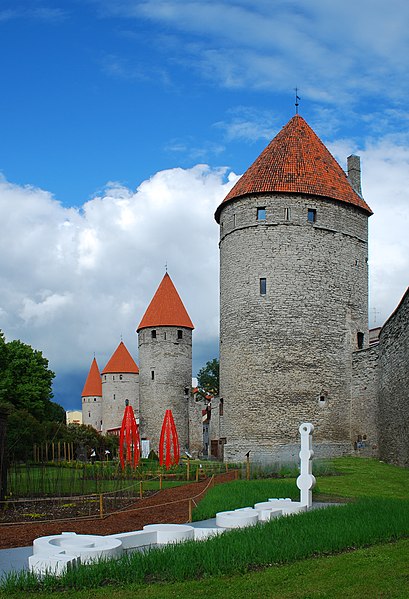
English: City walls and towers, Tallinn, Estonia. From the foreground towards the background: Köismäe tower, Plate tower, Epping tower and the tower behind Grusbeke.
Eesti: Tallinna linnamüür ja tornid: esiplaanil Köismäe torn; tagapool paremalt Plate torn, Eppingi torn ja Grusbeke-tagune torn.
Română: Zidurile şi turnurile cetăţii medievale din Tallinn, Estonia. De la dreapta la stânga: turnul Köismäe, turnul Plate, turnul Epping şi turnul de după Grusbeke.
|
||
| Date | |||
| Source | Own work | ||
| Author | Andrei Stroe |
Licensing
I, the copyright holder of this work, hereby publish it under the following licence:
This file is licensed under the Creative Commons Attribution-ShareAlike 3.0 Estonia licence.
- You are free:
- to share – to copy, distribute and transmit the work
- to remix – to adapt the work
- Under the following conditions:
- attribution – You must give appropriate credit, provide a link to the licence, and indicate if changes were made. You may do so in any reasonable manner, but not in any way that suggests the licensor endorses you or your use.
- share alike – If you remix, transform, or build upon the material, you must distribute your contributions under the same or compatible licence as the original.


|
This image was uploaded as part of Wiki Loves Monuments 2011.
|
This image has been assessed using the Quality image guidelines and is considered a Quality image.
|
File history
Click on a date/time to view the file as it appeared at that time.
| Date/Time | Thumbnail | Dimensions | User | Comment | |
|---|---|---|---|---|---|
| current | 18:45, 12 September 2011 | | 2,185 × 3,199 (6.37 MB) | wikimediacommons>Andrei Stroe |
File usage
There are no pages that use this file.