Greenland 42.74746W 71.57394N.jpg
From Spacefaring

Size of this preview: 800 × 599 pixels. Other resolutions: 320 × 240 pixels | 640 × 479 pixels | 1,024 × 766 pixels | 1,280 × 958 pixels.
Original file (1,280 × 958 pixels, file size: 148 KB, MIME type: image/jpeg)
Summary
| Description |
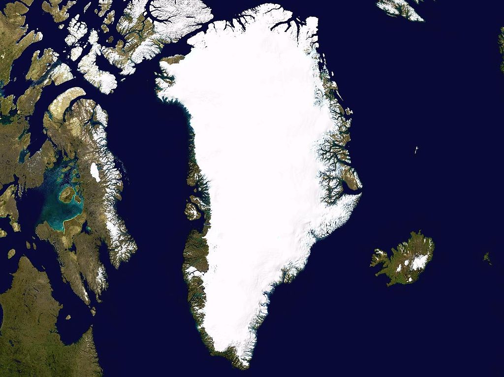
English: Satellite photo highlighting the island of Greenland, as well as Iceland and the Canadian Arctic Archipelago. |
| Date | May 17, 2005 |
| Source | worldwind.arc.nasa.gov |
| Author | NASA / Ames Research Center |
| Camera location | | View this and other nearby images on: OpenStreetMap |
|---|
| This image is in the public domain because it is a screenshot from NASA’s globe software World Wind using a public domain layer, such as Blue Marble, MODIS, Landsat, SRTM, USGS or GLOBE.
|
 |
File history
Click on a date/time to view the file as it appeared at that time.
| Date/Time | Thumbnail | Dimensions | User | Comment | |
|---|---|---|---|---|---|
| current | 09:42, 17 May 2005 | | 1,280 × 958 (148 KB) | wikimediacommons>Rex | Greenland NASA World Wind screenshot. {{PD-USGov-NASA}} Category:Greenland Category:Islands |
File usage
There are no pages that use this file.