Luxembourg Beaufort Saueruecht 03.jpg
From Spacefaring

Size of this preview: 800 × 494 pixels. Other resolutions: 320 × 198 pixels | 640 × 395 pixels | 1,024 × 632 pixels | 1,280 × 790 pixels | 2,560 × 1,581 pixels | 4,256 × 2,628 pixels.
Original file (4,256 × 2,628 pixels, file size: 13.57 MB, MIME type: image/jpeg)
Summary
| Description |
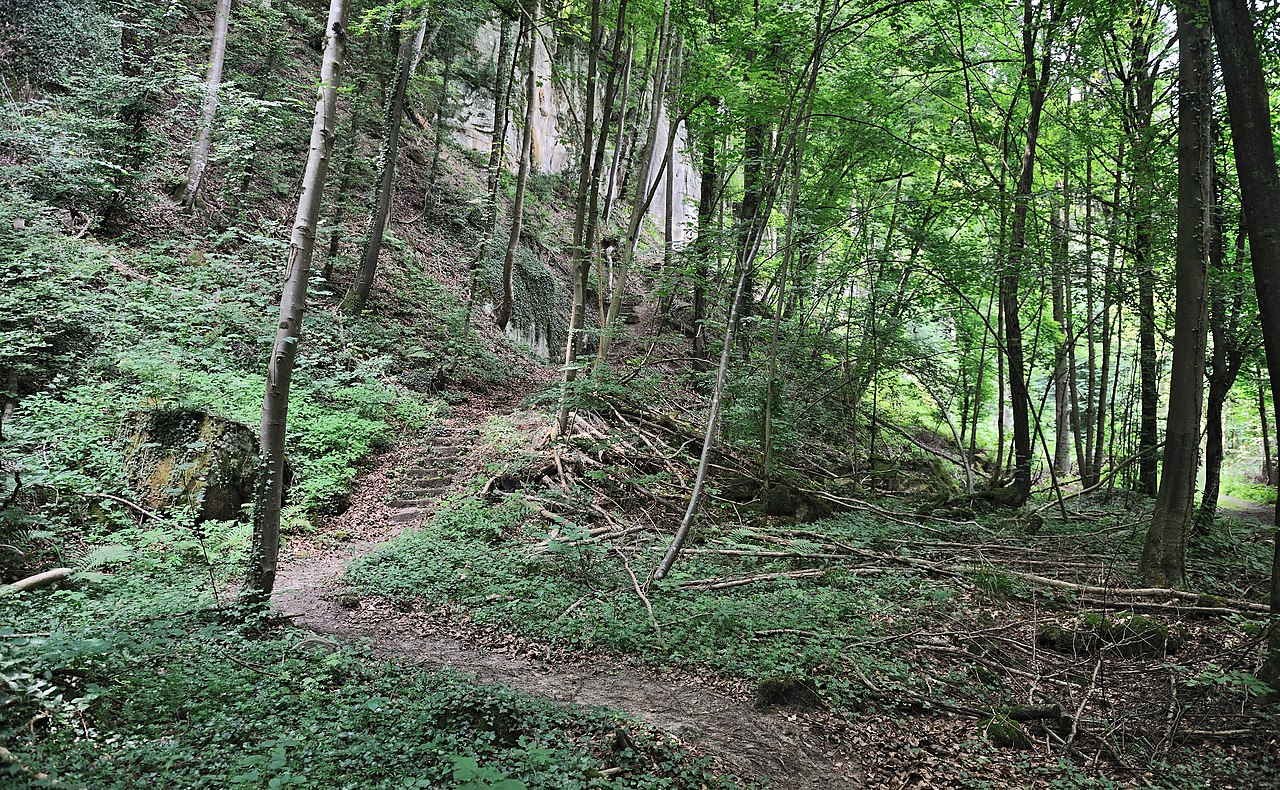
English: Luxembourg, commune of Beaufort, Mullerthal region (Luxembourg's Little Switzerland): forest reserve 'Saueruecht'.
Français : Luxembourg, commune de Beaufort, région du Mullerthal (Petite Suisse luxembourgeoise) : réserve forestière intégrale 'Saueruecht'.
Lëtzebuergesch: Gemeng Beefort, Mëllerdall, Kleng Lëtzebuerger Schwäiz: Bëschreserv 'Saueruecht'. |
| Date | |
| Source | Own work |
| Author | Cayambe |
| Camera location | | View this and other nearby images on: OpenStreetMap |
|---|
Licensing
I, the copyright holder of this work, hereby publish it under the following licences:
This file is licensed under the Creative Commons Attribution-Share Alike 3.0 Unported licence.
- You are free:
- to share – to copy, distribute and transmit the work
- to remix – to adapt the work
- Under the following conditions:
- attribution – You must give appropriate credit, provide a link to the licence, and indicate if changes were made. You may do so in any reasonable manner, but not in any way that suggests the licensor endorses you or your use.
- share alike – If you remix, transform, or build upon the material, you must distribute your contributions under the same or compatible licence as the original.

|
Permission is granted to copy, distribute and/or modify this document under the terms of the GNU Free Documentation Licence, Version 1.2 or any later version published by the Free Software Foundation; with no Invariant Sections, no Front-Cover Texts, and no Back-Cover Texts. A copy of the licence is included in the section entitled GNU Free Documentation Licence. |
You may select the licence of your choice.
| Annotations | This image is annotated: View the annotations at Commons |
This image has been assessed using the Quality image guidelines and is considered a Quality image.
|
File history
Click on a date/time to view the file as it appeared at that time.
| Date/Time | Thumbnail | Dimensions | User | Comment | |
|---|---|---|---|---|---|
| current | 18:24, 28 July 2010 | | 4,256 × 2,628 (13.57 MB) | wikimediacommons>Cayambe |
File usage
There are no pages that use this file.