Q766: Difference between revisions
From Spacefaring
Q766
Bot: Automated import of articles *** existing text overwritten *** |
Bot: Automated import of articles *** existing text overwritten *** |
||
| Line 1: | Line 1: | ||
{{Page|Jamaica|Areas|country in the Caribbean| | {{Page|Jamaica|Areas|country in the Caribbean|}} | ||
Latest revision as of 20:20, 4 October 2025
country in the Caribbean
Website,
Wikimedia, Wikidata
country, island country, Commonwealth realm, territorial evolution of the British Empire, sovereign state, archipelagic state,
-
 D'Shore beach club
 D'Shore beach club
 Cannon resting on a tree root
 Part Maria beach from Fort Haldane, Otram river outlet
 182-26 Hillside Avenue, Hillside Avenue and 182nd Place, Jamaica, Queens.
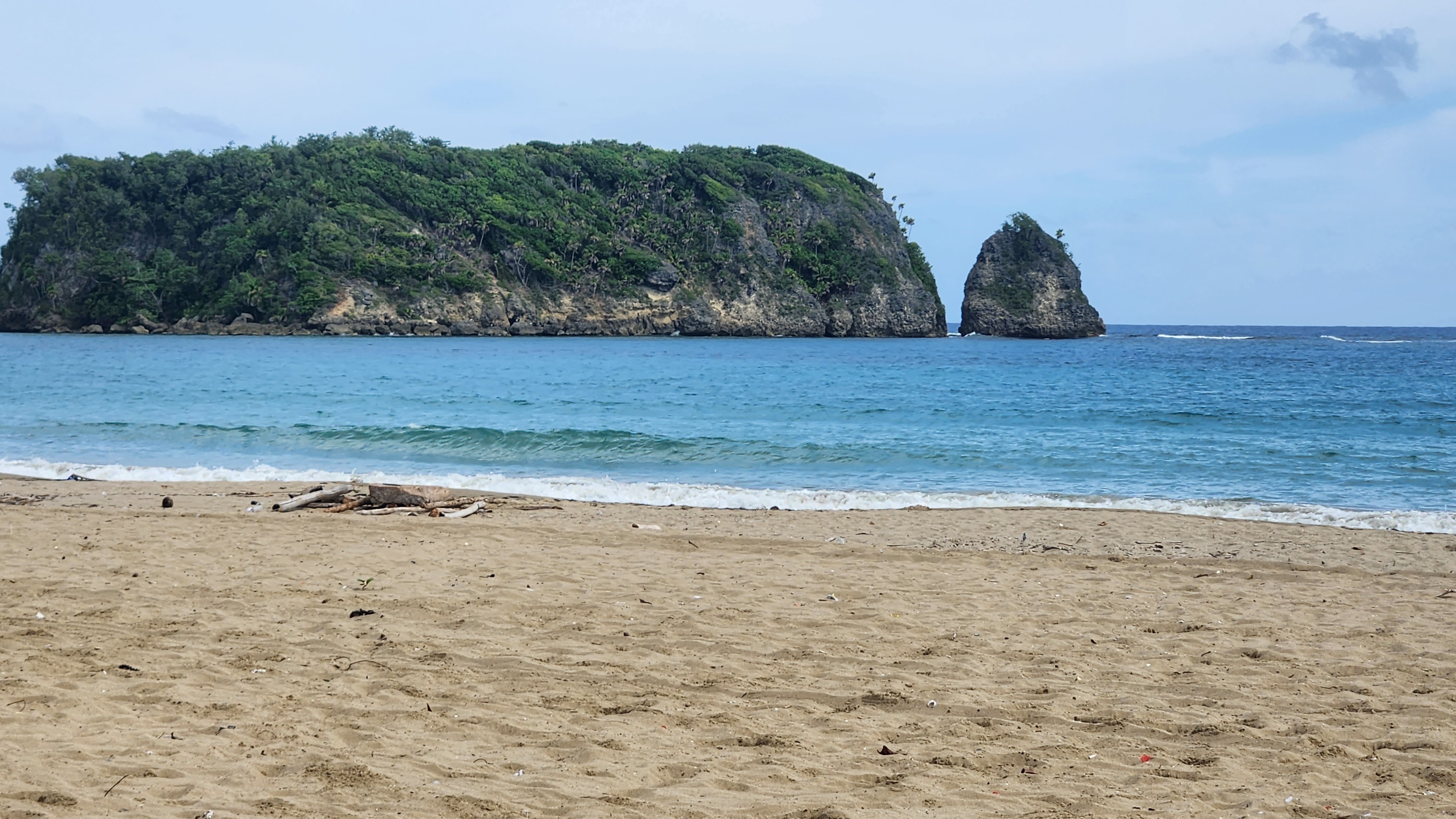 Cabarita Is
 I.S. 238 Susan B. Anthony Academy, Hillside Avenue and 182nd Street, Jamaica, Queens.
 Port Maria Civic Centre, once the St.Mary Parish Courthouse (Historic Bldg)
 Pagee fishing village near Main St.,
 Cabarita Is and Pagee Beach
| Type | Subtype | Date | Description | Notes | Source |
|---|---|---|---|---|---|
| area | region | Jamaica | Wikidata | ||
| commons | image | D'Shore beach club | Commons | ||
| commons | image | D'Shore beach club | Commons | ||
| commons | image | Cannon resting on a tree root | Commons | ||
| commons | image | Part Maria beach from Fort Haldane, Otram river outlet | Commons | ||
| commons | image | 182-26 Hillside Avenue, Hillside Avenue and 182nd Place, Jamaica, Queens. | Commons | ||
| commons | image | Cabarita Is | Commons | ||
| commons | image | I.S. 238 Susan B. Anthony Academy, Hillside Avenue and 182nd Street, Jamaica, Queens. | Commons | ||
| commons | image | Port Maria Civic Centre, once the St.Mary Parish Courthouse (Historic Bldg) | Commons | ||
| commons | image | Pagee fishing village near Main St., | Commons | ||
| commons | image | Cabarita Is and Pagee Beach | Commons | ||
_02.jpg)
_03_-_IS_238_Susan_B._Anthony.jpg)