Shuttle Radar Topography Mission
From Spacefaring
Q965136
Q965136
The Shuttle Radar Topography Mission (SRTM) is an international research effort that obtained digital elevation models on a near-global scale from 56°S to 60°N, to generate the most complete high-resolution digital topographic database of Earth prior to the release of the ASTER GDEM in 2009. SRTM consisted of a specially modified radar system that flew on board the Space Shuttle Endeavour during the 11-day STS-99 mission in February 2000. The radar system was based on the older Spaceborne Imaging Radar-C/X-band Synthetic Aperture Radar (SIR-C/X-SAR), previously used on the Shuttle in 1994. To acquire topographic data, the SRTM payload was outfitted with two radar antennas. One antenna was located in the Shuttle's payload bay, the other – a critical change from the SIR-C/X-SAR, allowing single-pass interferometry – on the end of a 60-meter (200-foot) mast that extended from the payload bay once the Shuttle was in space. The technique employed is known as interferometric synthetic aperture radar. Intermap Technologies was the prime contractor for processing the interferometric synthetic aperture radar data.
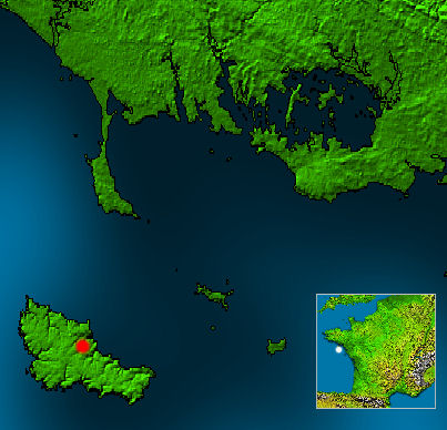 Belle-ile on nasa map
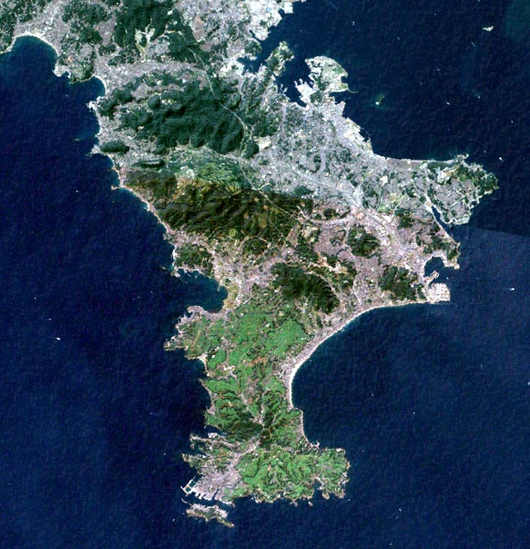 Miura Peninsula Kanagawa Japan SRTM
 Radar image of the Central Valley of Costa Rica recorded by NASA Space Shuttle mission STS-99 in 2000.
 Map IzuIslandsShuttle
 Ōsumi Peninsula
 Ojika Peninsula Miyagi Japan SRTM
 Santa Barbara Coast JPLLandsat
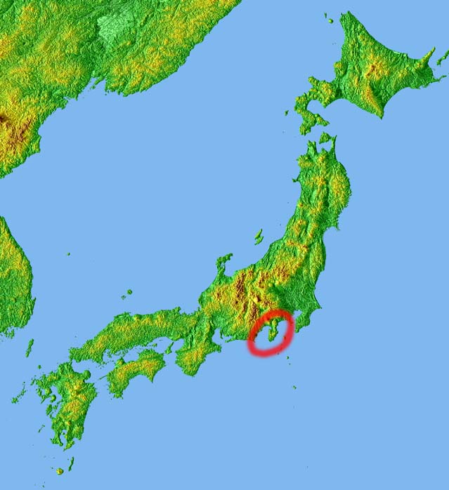 Topographic map of Japan with Izu peninsula (伊豆半島) circled in red.
 Topography of africa
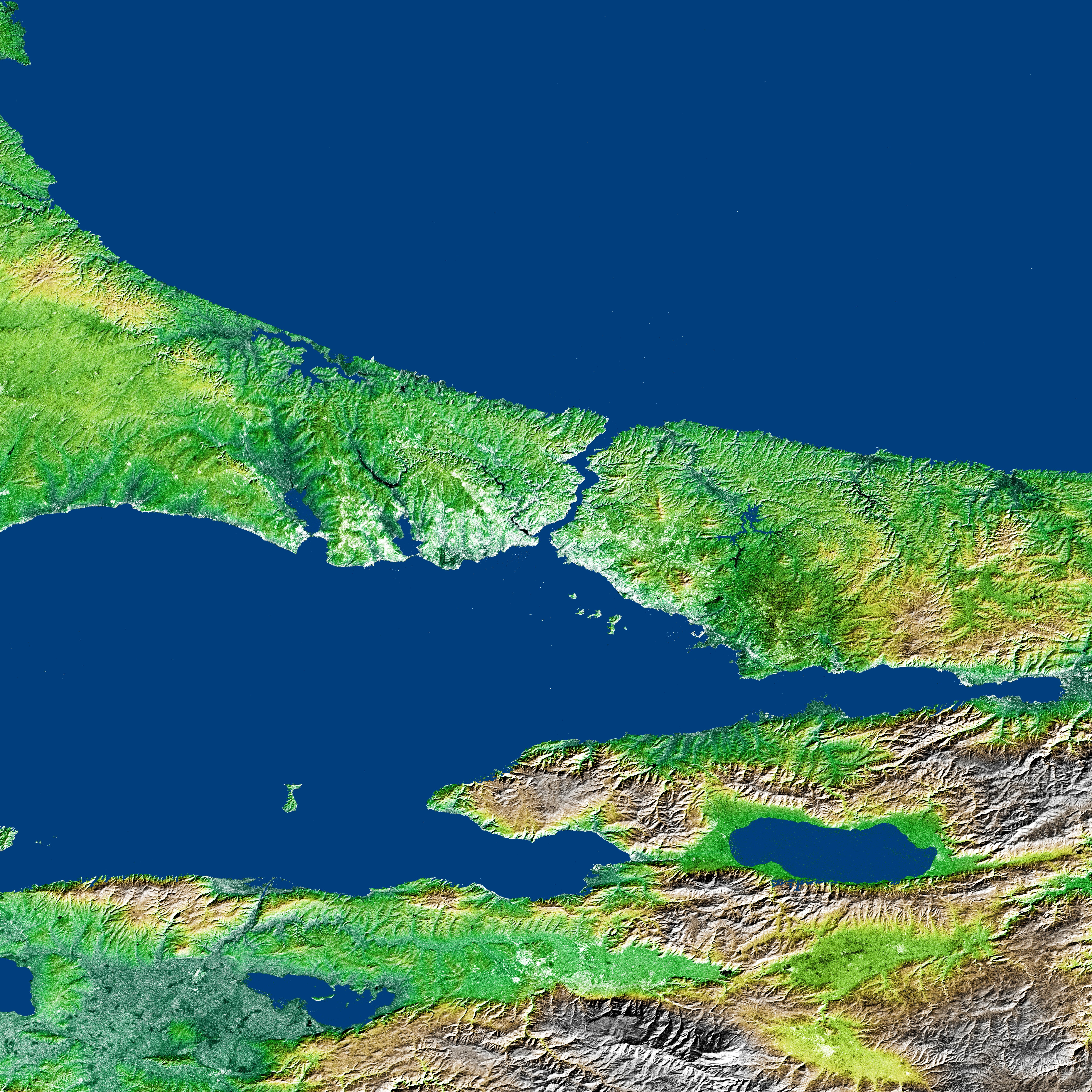 Bosporus Strait and Istanbul, Turkey
- Evaluation of ASTER and SRTM DEM data for lahar modeling: A case study on lahars from Popocatépetl Volcano, Mexico - scholarly article by C. Huggel et al published February 2008 in Journal of Volcanology and Geothermal Research
- Automated object-based classification of topography from SRTM data. - scientific article published in March 2012, Q1860
- Volume Change of the Tasman Glacier Using Remote Sensing - 2008 master's thesis by Joel Spencer Thomas at University of Canterbury, Q1860
- Analysing the Potential of OpenStreetMap Data to Improve the Accuracy of SRTM 30 DEM on Derived Basin Delineation, Slope, and Drainage Networks - scholarly article, 2018
| Type | Subtype | Date | Description | Notes | Source |
|---|---|---|---|---|---|
| commons | image | Belle-ile on nasa map | Commons | ||
| commons | image | Miura Peninsula Kanagawa Japan SRTM | Commons | ||
| commons | image | Radar image of the Central Valley of Costa Rica recorded by NASA Space Shuttle mission STS-99 in 2000. | Commons | ||
| commons | image | Map IzuIslandsShuttle | Commons | ||
| commons | image | Ōsumi Peninsula | Commons | ||
| commons | image | Ojika Peninsula Miyagi Japan SRTM | Commons | ||
| commons | image | Santa Barbara Coast JPLLandsat | Commons | ||
| commons | image | Topographic map of Japan with Izu peninsula (伊豆半島) circled in red. | Commons | ||
| commons | image | Topography of africa | Commons | ||
| commons | image | Bosporus Strait and Istanbul, Turkey | Commons | ||