Sentinel-2
From Spacefaring
Q4302480
Sentinel-2 is an Earth observation mission from the Copernicus Programme that acquires optical imagery at high spatial resolution over land and coastal waters. The mission's Sentinel-2A and Sentinel-2B satellites were joined in orbit in 2024 by a third, Sentinel-2C, and in the future by Sentinel-2D, eventually replacing the A and B satellites, respectively.
Website,
Wikimedia, Wikidata
Sentinel 2
European Space Agency, Airbus Defence and Space,
European Space Agency, Dong Fang Hong 2, Earth observation satellite,
-
Location: KML, Cluster Map, Maps,
 Sentinel-2 team ESA15436396
 Directing flight ESA15489827
 Celebrating the end of the beginning ESA15488935
 Sentinel 2-IMG 5873-white
 Sentinel 2-IMG 5873-gradient
 Sentinel 2-IMG 5873-black
 Sentinel 2-IMG 5873-white (crop)
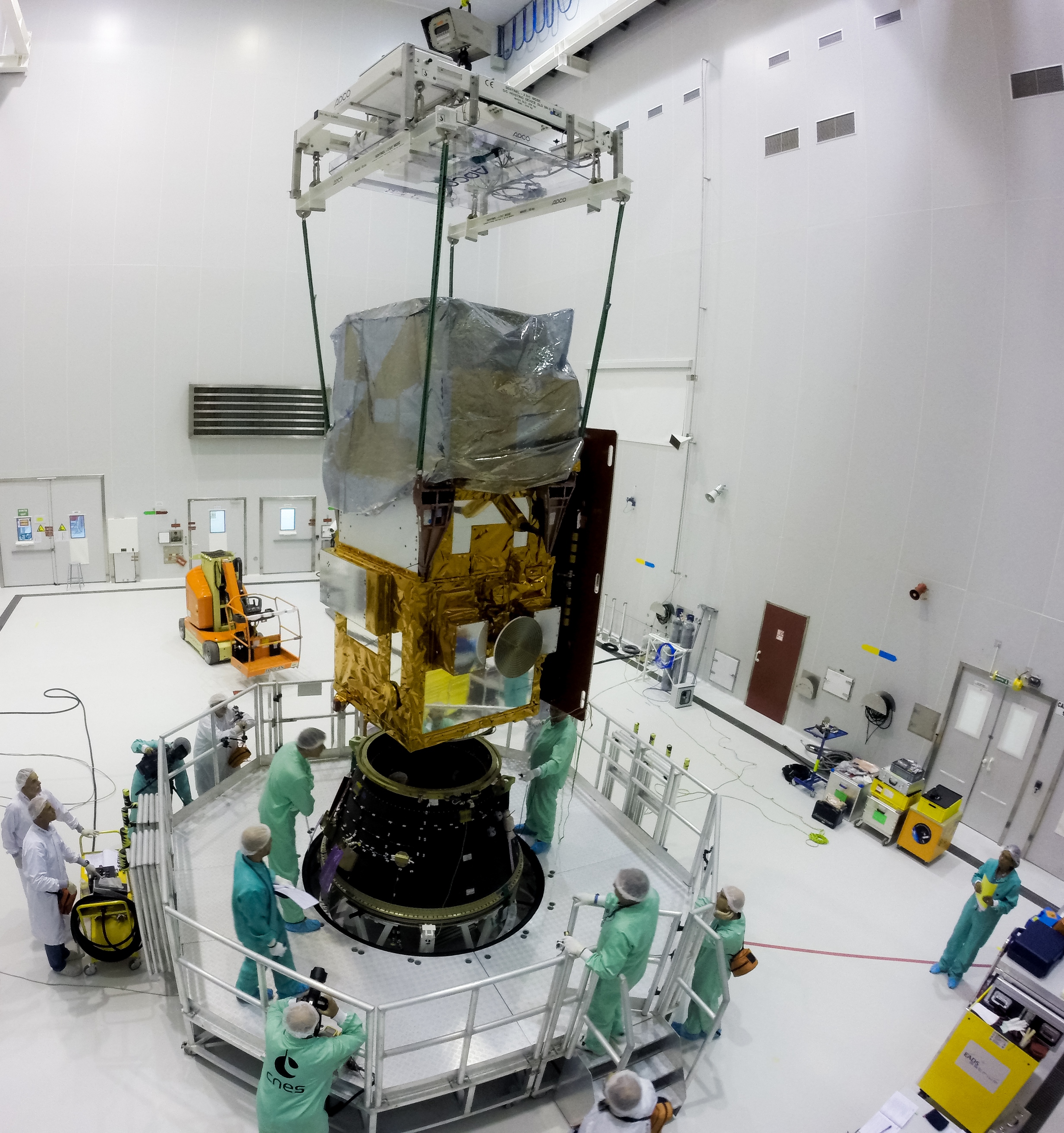 Sentinel-2A meets launch adapter
 Sentinel-2, TanDEM-X und TerraSAR-X - Sentinel-2, TanDEM-X and TerraSAR-X (14051016907)
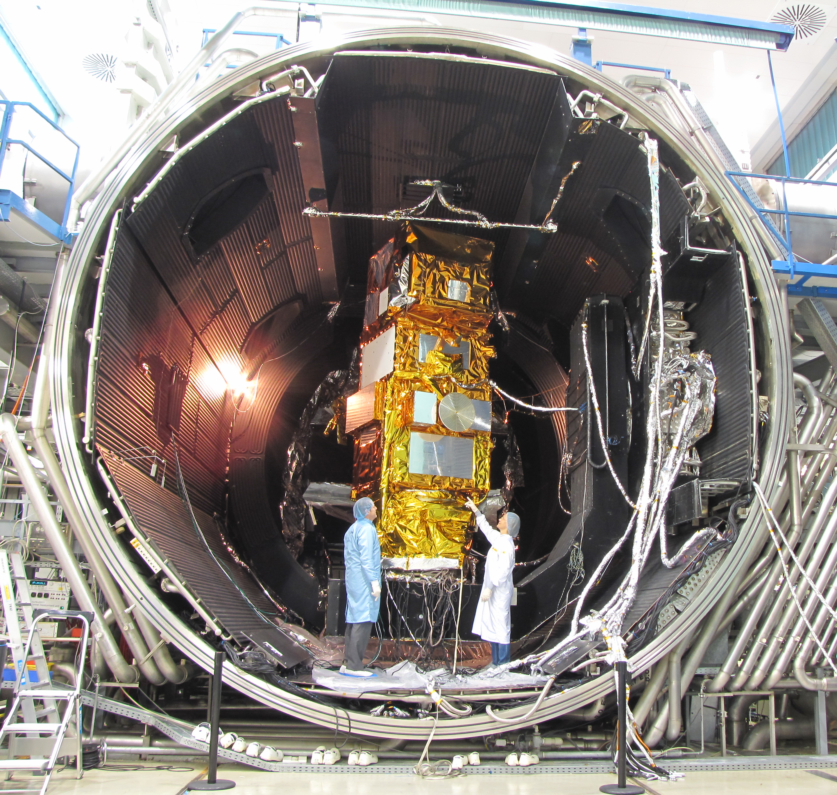 Sentinel2 Auto31
- Estimating food resource availability in arid environments with Sentinel 2 satellite imagery - scientific article published on 26 May 2020
- Spectral-radiometric differentiation of non-photosynthetic vegetation and soil within Landsat and Sentinel 2 wavebands - scientific article published on 24 May 2018
- Estimating Above-Ground Biomass in Sub-Tropical Buffer Zone Community Forests, Nepal, Using Sentinel 2 Data - article, 2018
- Sentinel-2 image transformation methods for mapping oil spill - A case study with Wakashio oil spill in the Indian Ocean, off Mauritius - , Q1860, 2021
- Mapping Height and Aboveground Biomass of Mangrove Forests on Hainan Island Using UAV-LiDAR Sampling - scientific article published in 2019
- Assessment of Workflow Feature Selection on Forest LAI Prediction with Sentinel-2A MSI, Landsat 7 ETM+ and Landsat 8 OLI - , Q1860, 2020
- Water quality assessment of the Ganges River during COVID-19 lockdown - scholarly article by P R Muduli published in 2021, Q1860
- Mapping Wildfire Ignition Probability Using Sentinel 2 and LiDAR (Jerte Valley, Cáceres, Spain). - scientific article published on 9 March 2018, Q1860
- Analysis of correlation between urban heat islands (UHI) with land-use using sentinel 2 time-series image in Makassar city - scholarly article, 2020
- Comparison of Trapping Performance Between the Original BG-Sentinel® Trap and BG-Sentinel 2® Trap (1). - scientific article published on December 2015, Q1860
- Mapping Artisanal and Small-Scale Gold Mining in Senegal Using Sentinel 2 Data - scientific article published in December 2020
- Trapping the Tiger: Efficacy of the Novel BG-Sentinel 2 With Several Attractants and Carbon Dioxide for Collecting Aedes albopictus (Diptera: Culicidae) in Southern France - scientific article, Q1860, 2015
- Evaluation of Sentinel-2 Red-Edge Bands for Empirical Estimation of Green LAI and Chlorophyll Content - scientific article published on 8 July 2011, Q1860, online
- Vegetation index suites as indicators of vegetation state in grassland and savanna: An analysis with simulated SENTINEL 2 data for a North American transect - article, 2013
- Early mapping of industrial tomato in Central and Southern Italy with Sentinel 2, aerial and RapidEye additional data - article, Q1860, 2018
- Understanding deep learning in land use classification based on Sentinel-2 time series - scientific article published on 14 October 2020, Q1860
- Comparison of Mosquito Abundance From Biogents Sentinel 2.0 Traps With and Without Rain Covers - scientific article published in June 2017, Q1860
| Type | Subtype | Date | Description | Notes | Source |
|---|---|---|---|---|---|
| commons | image | Sentinel-2 team ESA15436396 | Commons | ||
| commons | image | Directing flight ESA15489827 | Commons | ||
| commons | image | Celebrating the end of the beginning ESA15488935 | Commons | ||
| commons | image | Sentinel 2-IMG 5873-white | Commons | ||
| commons | image | Sentinel 2-IMG 5873-gradient | Commons | ||
| commons | image | Sentinel 2-IMG 5873-black | Commons | ||
| commons | image | Sentinel 2-IMG 5873-white (crop) | Commons | ||
| commons | image | Sentinel-2A meets launch adapter | Commons | ||
| commons | image | Sentinel-2, TanDEM-X und TerraSAR-X - Sentinel-2, TanDEM-X and TerraSAR-X (14051016907) | Commons | ||
| commons | image | Sentinel2 Auto31 | Commons | ||
.jpg)
.jpg)