NOAA-16
From Spacefaring
Q4044978
NOAA-16, also known as NOAA-L before launch, was an operational, polar orbiting, weather satellite series operated by the National Environmental Satellite Service (NESS) of the National Oceanic and Atmospheric Administration (NOAA). NOAA-16 continued the series of Advanced TIROS-N (ATN) spacecraft that began with the launch of NOAA-8 (NOAA-E) in 1983; but it had additional new and improved instrumentation over the NOAA A-K series and a new launch vehicle. It was launched on 21 September 2000 and, following an unknown anomaly, it was decommissioned on 9 June 2014. In November 2015 it broke up in orbit, creating more than 200 pieces of debris.
{"selectable":false,"showCurrentTime":false,"width":"100%","zoomMin":100000000000}
 Onil 02 oct 2004 0928Z
 NOAA-L satellite tilted in Vandenberg AFB clean room
 Heavy blue band shows flooding along the Mississippi River. (Image credit: NOAA/NESDIS Operational Significant Event Imagery)
 Tropical Cyclone 01A 24 may 2001 0936Z
 Hurricane Adolph 29May2001
 TS Cosme 13 july 2001 1926Z
 Chantal 20 aug 2001 1935Z
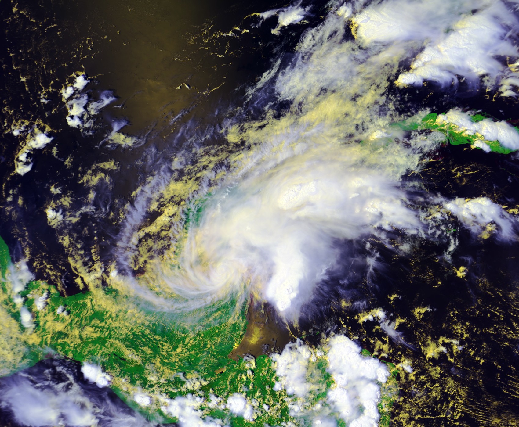 TS Chantal 21 aug 2001 1924Z
 TS Dean 27 aug 2001 1644Z
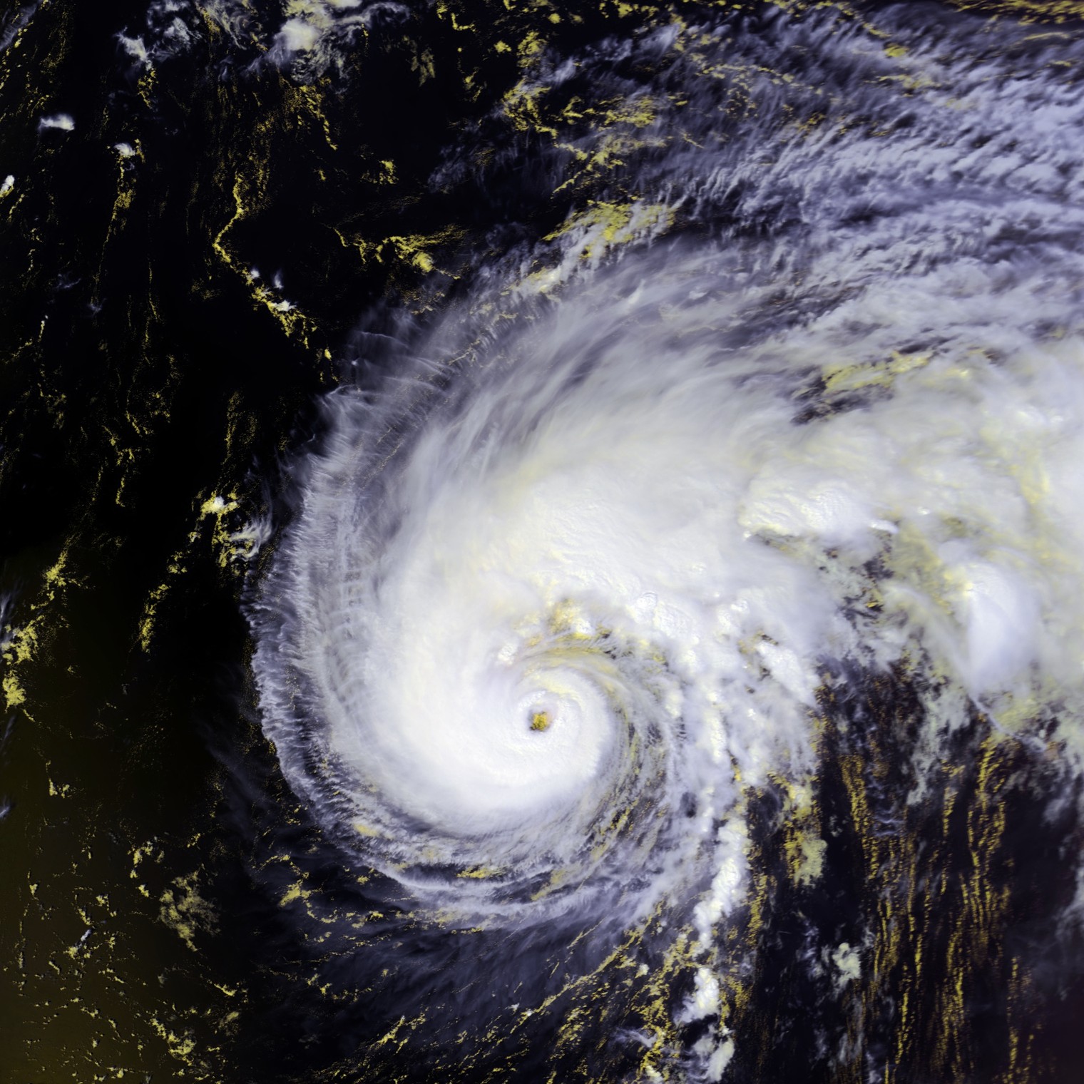 Hurricane Felix 13 sept 2001 1703Z
| Type | Subtype | Date | Description | Notes | Source |
|---|---|---|---|---|---|
| commons | image | Onil 02 oct 2004 0928Z | Commons | ||
| commons | image | NOAA-L satellite tilted in Vandenberg AFB clean room | Commons | ||
| commons | image | Heavy blue band shows flooding along the Mississippi River. (Image credit: NOAA/NESDIS Operational Significant Event Imagery) | Commons | ||
| commons | image | Tropical Cyclone 01A 24 may 2001 0936Z | Commons | ||
| commons | image | Hurricane Adolph 29May2001 | Commons | ||
| commons | image | TS Cosme 13 july 2001 1926Z | Commons | ||
| commons | image | Chantal 20 aug 2001 1935Z | Commons | ||
| commons | image | TS Chantal 21 aug 2001 1924Z | Commons | ||
| commons | image | TS Dean 27 aug 2001 1644Z | Commons | ||
| commons | image | Hurricane Felix 13 sept 2001 1703Z | Commons | ||
.jpg)